With the EatSleepRIDE app, you can record your rides and share routes with the community
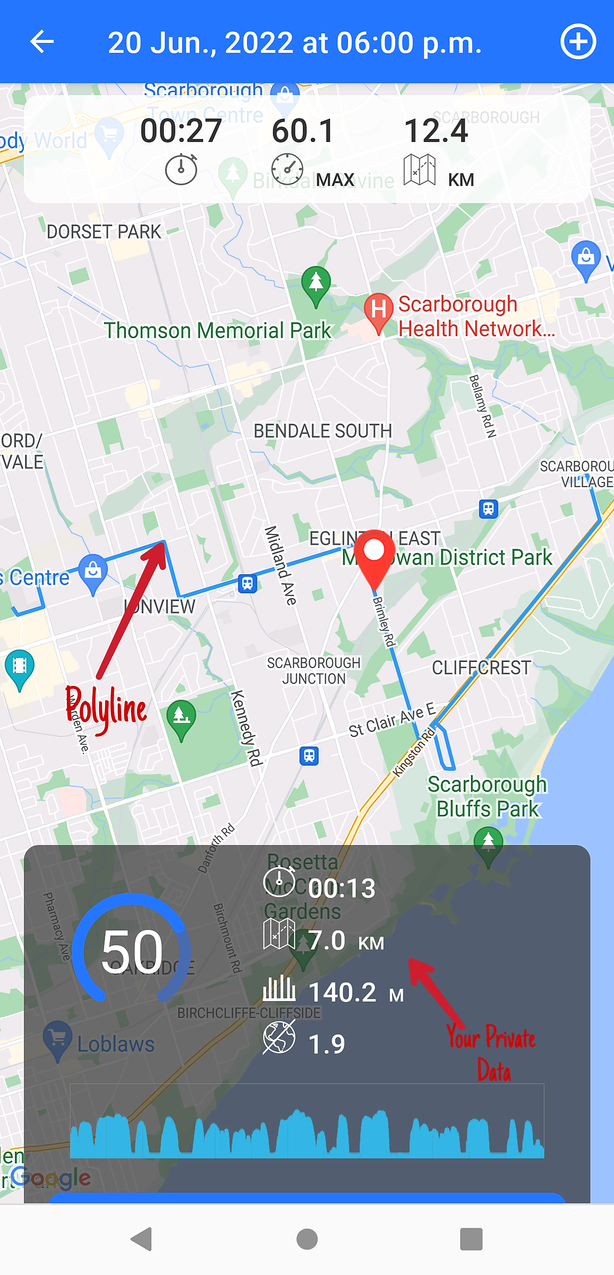
A Ride
When you record your trip using the ESR app, it gets saved as a "Ride". A polyline is drawn on the map to connect your trip points. Your ride-specific data includes speed, duration, elevation and lean angle. This data remains private and is only visible to you in Me > Saved Rides
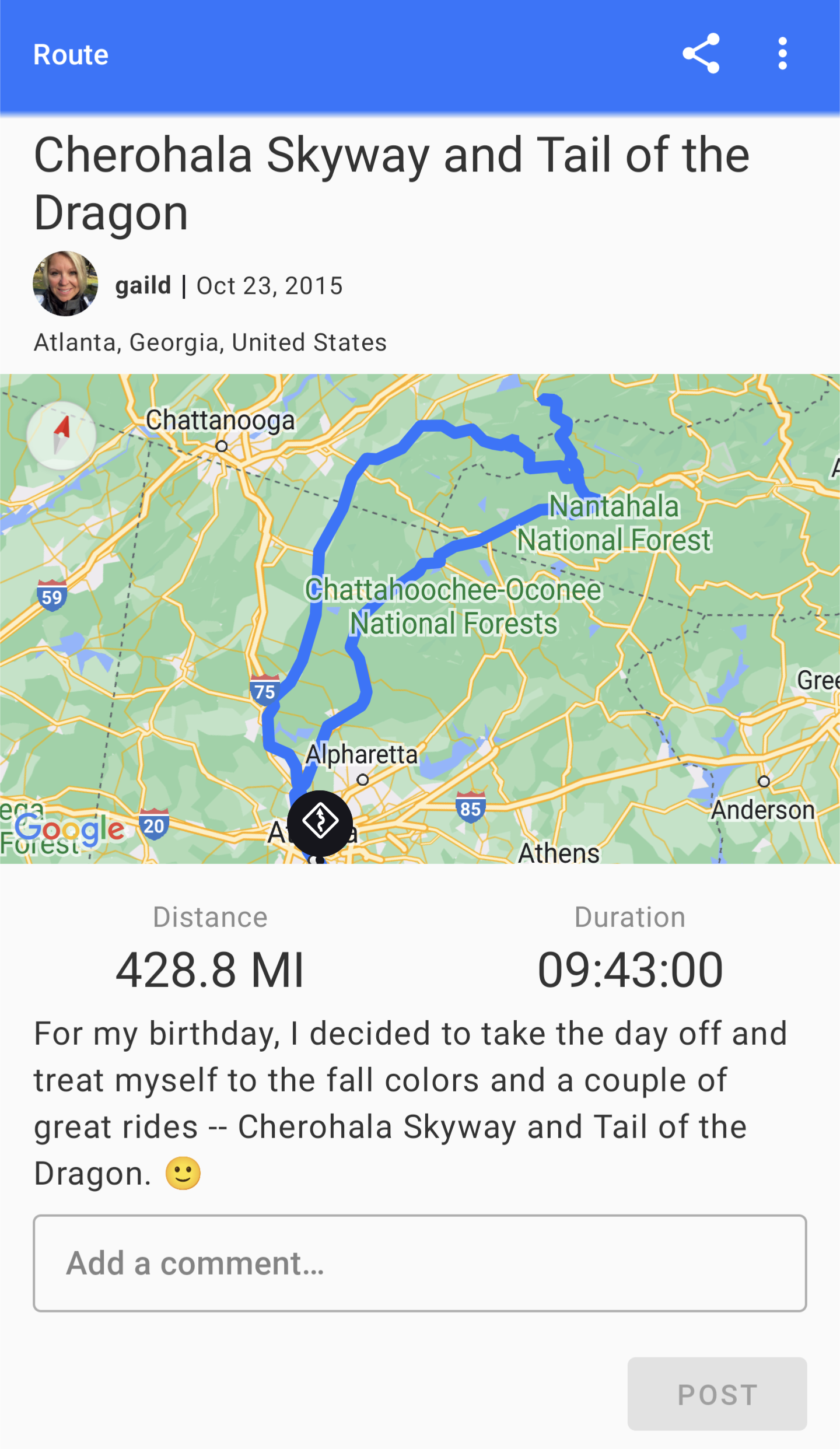
A Route
When you share the ride, you create a "Route" that is visible to all ESRians, it does not contain your stats data, rather only the GPS points are displayed in the form of a blue polyline. Your speed, elevation and lean angle are stripped from the published Route and NOT shared.
When you publish your Route, it is saved to the platform and is visible to all ESRians.